On July 27, the Myrdalsjokull glacier in southern Iceland melted for some reason, resulting in massive flooding in the area east of the glacier.
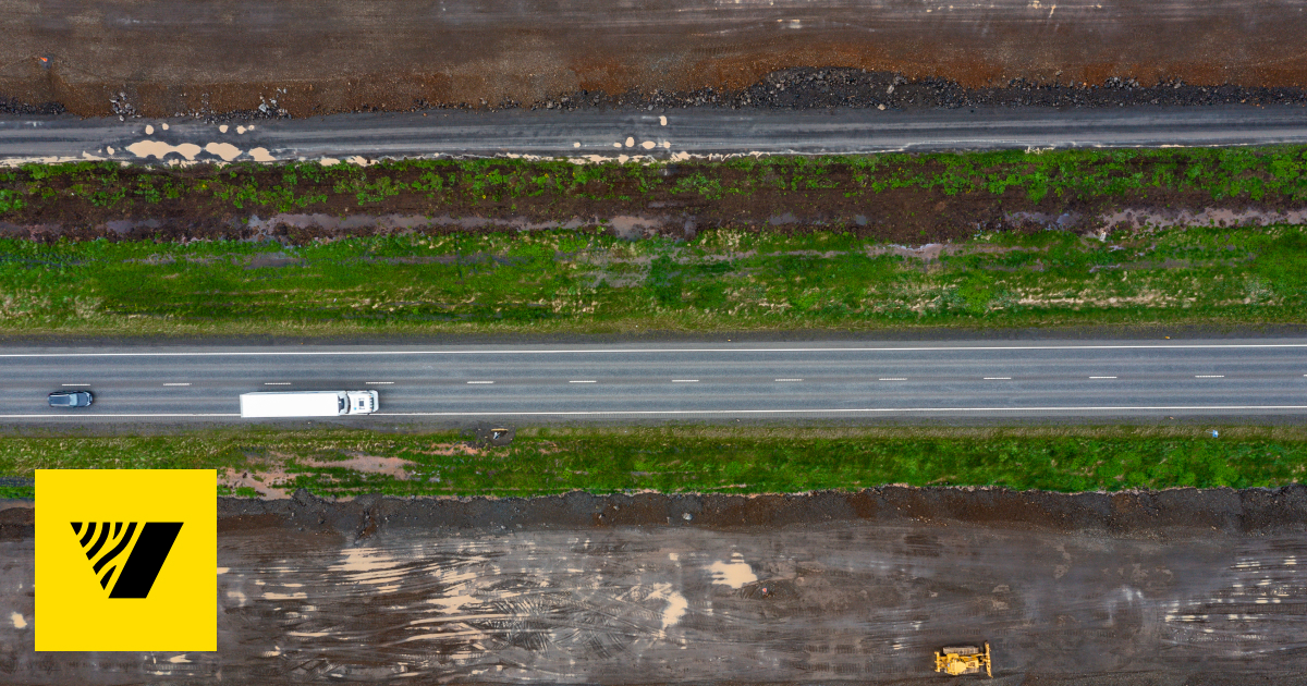
Although the water level has already receded, the main highway, National Route 1 (Ring Road), has been damaged, and as of noon on July 29, the road was closed to traffic on one side near the Skalm River, about 30 km east of Vik, and traffic passing through this section is taking longer than usual. According to media reports, the road is expected to be fully restored within a few days, but please be careful if you plan to pass through this section.
The cause of the melting of the glacier has not been identified at this time, but since seismic activity has been observed in the area, it is assumed that the glacier melted due to seismic tremors or a rise in surface temperature caused by volcanic activity beneath the glacier.
Iceland is located in a volcanic belt, and volcanic activity is active throughout the country. It is not limited to the volcanic activity currently occurring on the Reykjanes Peninsula (southwest Iceland), but it has been pointed out that earthquakes and eruptions can occur anywhere, but it is often difficult to predict in advance, and it is not unusual for activity to begin suddenly.
In addition, in some places, if the transportation network is cut off, it may be impossible to go around the area and the area may become isolated, forcing people to stay stranded until transportation is restored.
Visitors to Iceland are advised to plan their itinerary with such circumstances in mind, and be sure to gather information in preparation for any contingencies.
Icelandic Meteorological Service:
Icelandic Department of Risk Management and National Protection:

Icelandic Roads and Ports Authority:

Safe Travel:


Comment